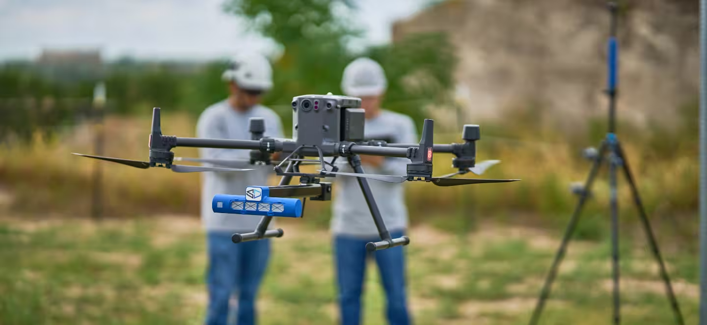
SeekOps flight crews and a global network of trained drone service partners deliver the same SeekIR® data quality everywhere you operate: methane, carbon dioxide, and 3D temperature profiling in one survey.
SeekOps turnkey flight crews deploy worldwide to survey your assets directly. Where a local operator makes more sense, the same SeekIR® sensor suite is flown by our global network of trained drone service partners, under the same procedures and quality controls. Either way, the deliverable is identical: localized, quantified emissions data your team can act on.
Every survey is planned around your site: flight paths are programmed for full coverage of tanks, flares, digesters, or platforms, and readings stream to the ground station in real time through FASTR, so findings are confirmed before the aircraft lands.

Autonomous drones carry the SeekIR® sensor suite across the site, measuring methane, carbon dioxide, and 3D temperature profiles without shutdowns or scaffolding.
Tunable diode laser absorption spectroscopy (TDLAS) plus wind and flux modeling turn each detection into an emission rate with a stated uncertainty bound.
Celsius, our reporting analytics software, reconciles measured emissions against your inventory and produces framework-ready deliverables.
Direct, in-plume measurement of flare destruction and removal efficiency (DRE) and methane slip, replacing assumed efficiency factors with measured values for your inventory and reporting.
Pair gas surveys with high-resolution imagery, orthomosaics, and 3D site models for up-to-date contextual reference.
Deliverables aligned to regulation (OGMP 2.0 Levels 4 and 5, the EU Methane Regulation) and to voluntary frameworks such as ONE Future and GTI Veritas, as well as MiQ gas certification.

SeekOps crews and trained drone service partners deliver surveys on all six major continents — everywhere except Antarctica.
Tell us about your sites and reporting requirements. We'll scope a survey program and show you what the data will look like.
Get in touch