From onshore well pads to offshore platforms, SeekOps localizes and quantifies emissions at the source, with the regulatory approvals to support your filings.
Autonomous SeekIR® drone surveys provide consistent, repeatable inspections of well pads, tank batteries, and production facilities. Approved as an alternative measurement method under Colorado AIMM (2024) and Alberta Alt-FEMP (2022).
Aerial surveys along pipeline rights-of-way and at the interface points where emissions concentrate: metering and regulating (M&R) stations, compressor stations, interconnects, launcher/receiver sites, and storage facilities.
Detection and quantification of the low emission rates associated with plugged and abandoned (P&A) wells, critical for verifying long-term integrity and satisfying closure requirements.
Leak detection and quantification (LDAQ®) for gas processing plants, tank farms, storage fields, and LNG facilities, with equipment-level localization to direct repair crews.
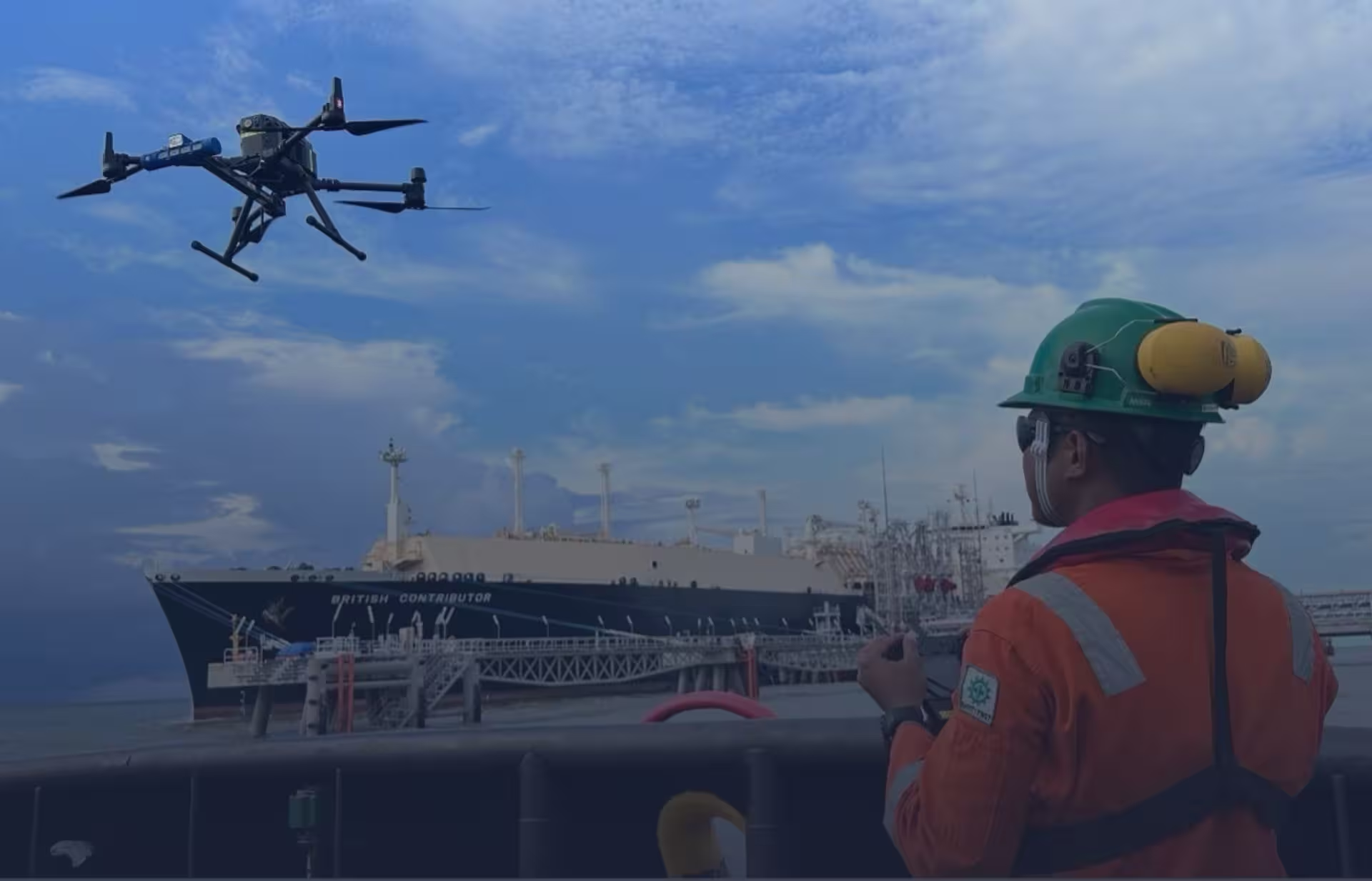
Surveys flown from the platform or a support vessel deliver real-time concentration data and equipment-level localization — including the world-first offshore aerial campaign at BP’s Clair Phase 1 platform, West of Shetland, in 2019.
Proven on floating production, storage, and offloading (FPSO) vessels in harsh offshore conditions, from mooring to offloading operations.
Each detection is localized to equipment and quantified as a rate with a stated uncertainty bound, so repair and reporting decisions rest on measurement rather than estimates.
Celsius, our reporting analytics software, compares measured totals against your inventory and highlights where they diverge, the core of OGMP 2.0 Level 5 reporting.
Programmed flight paths make every survey repeatable, so quarter-over-quarter trends reflect your operations rather than survey variation.
Tell us about your pads, pipelines, or platforms and the framework you report under.
Get in touch